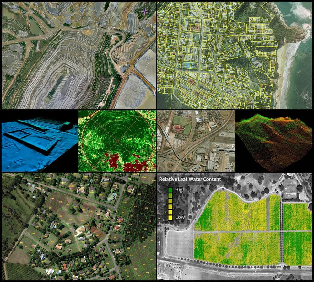
Turn raw drone data into survey-grade maps with Nkem Aeronautics drone mapping
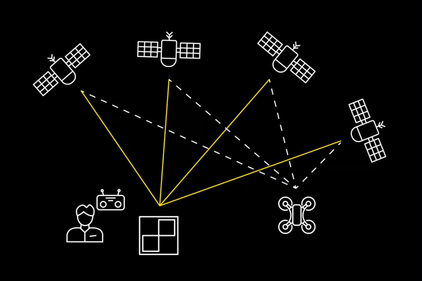
PPK, or post-processing kinematic, is a high-precision workflow that ensures your drone imagery is accurately geolocated. Using AeroPoints and high-accuracy drones, processing with Nkem Aeronautics PPK makes survey-grade mapping reliable, repeatable, and simple.
- Topographic & cadastral surveys
- Volumetric & stockpile measurement
- Digital elevation models (DEM)
- GIS-ready deliverables
Easy
Capture geolocated imagery with minimal setup using our PPK workflow.
Scalable
Survey small or large sites at any frequency while collecting consistent geospatial data.
Accurate
Achieve consistent survey-grade accuracy with post-processing kinematic techniques.
Insightful
Validate your data with clear reports and expert review.
The Challenge
Why unreliable survey data is costing you more than just time
If your team is relying on a constant RTK and GPS rover signal in remote or complex terrain, you're betting your margins on a connection that can drop at any moment. A single data gap leads to unreliable surveys, which means:
- Rework risk: grading to the wrong elevation because of vertical drift
- Wasted labour: sending crews back out to place more ground control points (GCPs)
- Communication breakdowns: disputes between the field and office over which numbers are right

Why it matters
Why Drone Surveillance matters
- Remove reliance on real-time GNSS connections that can drift or fail
- Achieve consistent survey-grade accuracy across multiple flights and large sites
- Reduce errors and rework by validating imagery against precise ground control
- Make confident, data-driven decisions for planning and reporting
- Scale easily across projects while maintaining repeatable results
Step 1
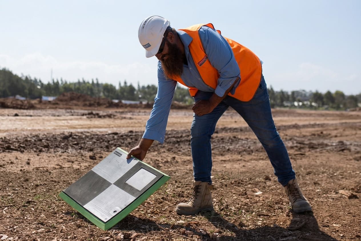
Lay your AeroPoints
Place AeroPoints on-site to record precise ground positions.
Step 2
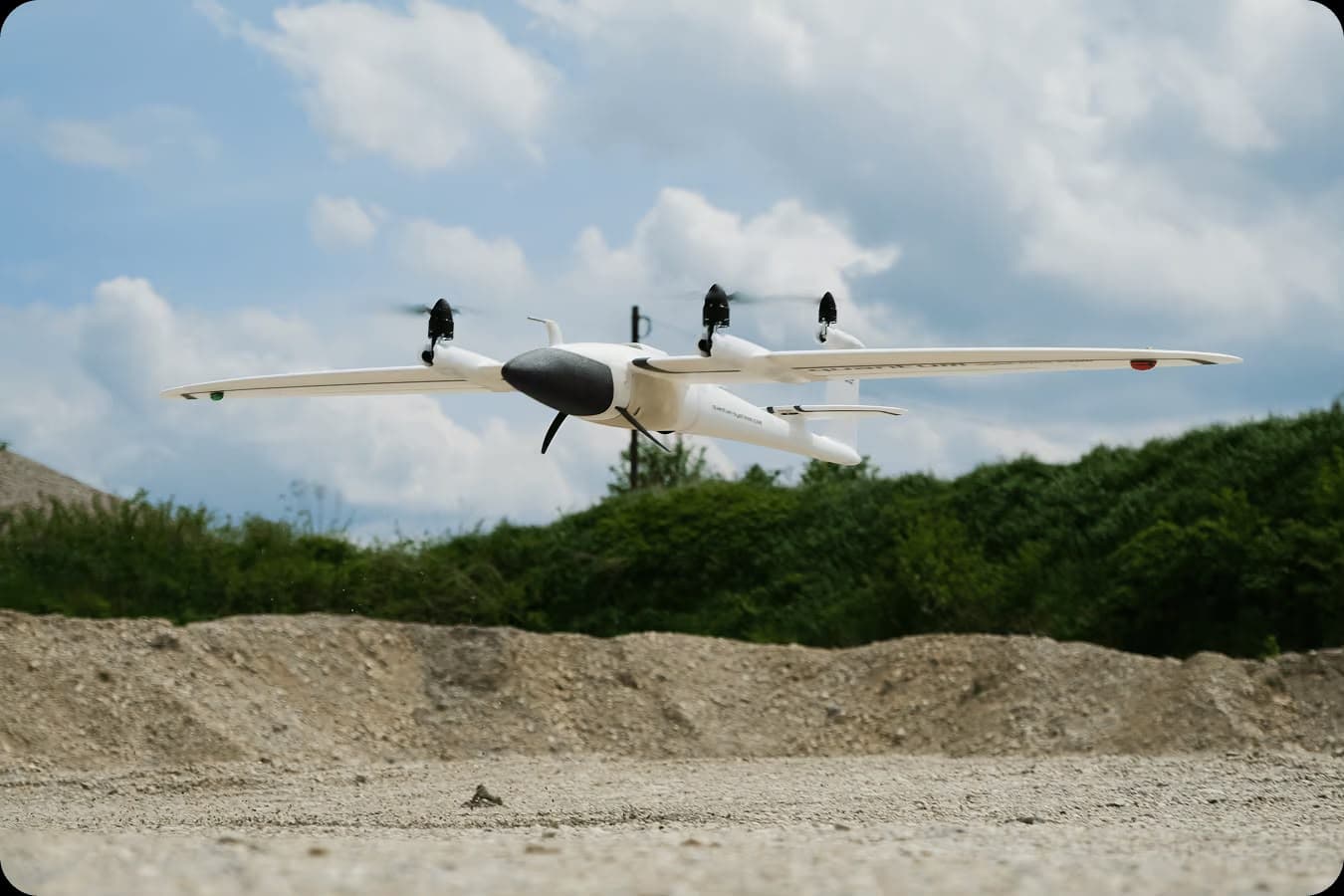
Gather drone data
Fly RTK-enabled drones along an automated flight path, then process with PPK.
Step 3
Hardware agnostic, accuracy obsessed
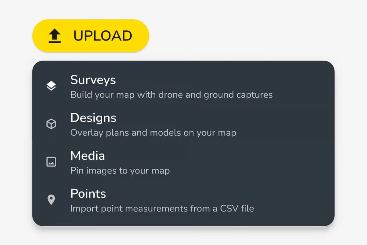
Upload surface data from the capture or survey tool that best matches your accuracy needs — drone mapping, GNSS rover, total station, or other conventional methods. Nkem Aeronautics brings it all together into one unified map, stored in your Logbook. Our high-precision processing ensures every data point aligns reliably, no matter how it was captured, so your team can trust the map and make confident, accurate decisions across the site.
Step 4
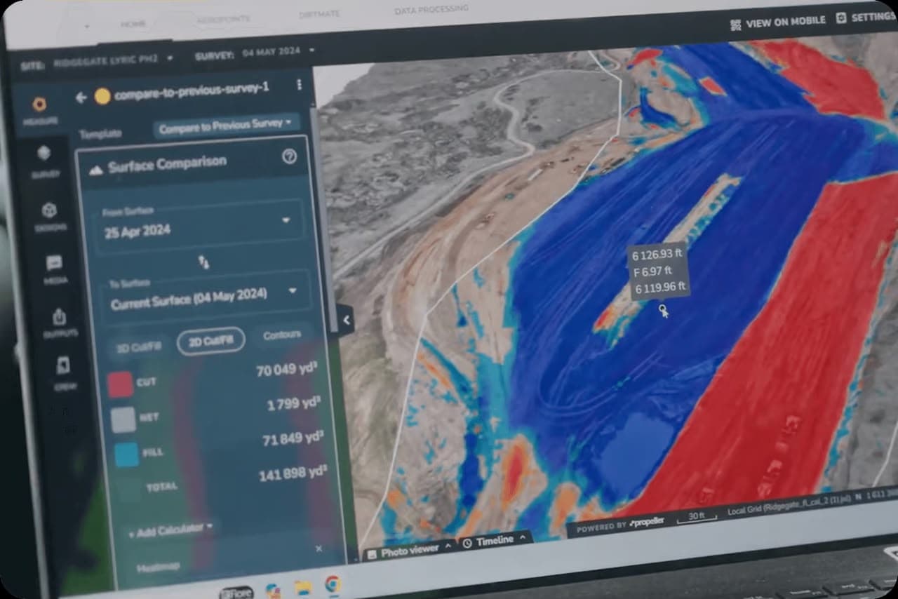
Verify your data
Along with your processed dataset, you'll receive a summary report, linked to your Logbook, detailing:
- GNSS corrections applied to each photo
- Ground control accuracy
- Overall survey precision
Step 5
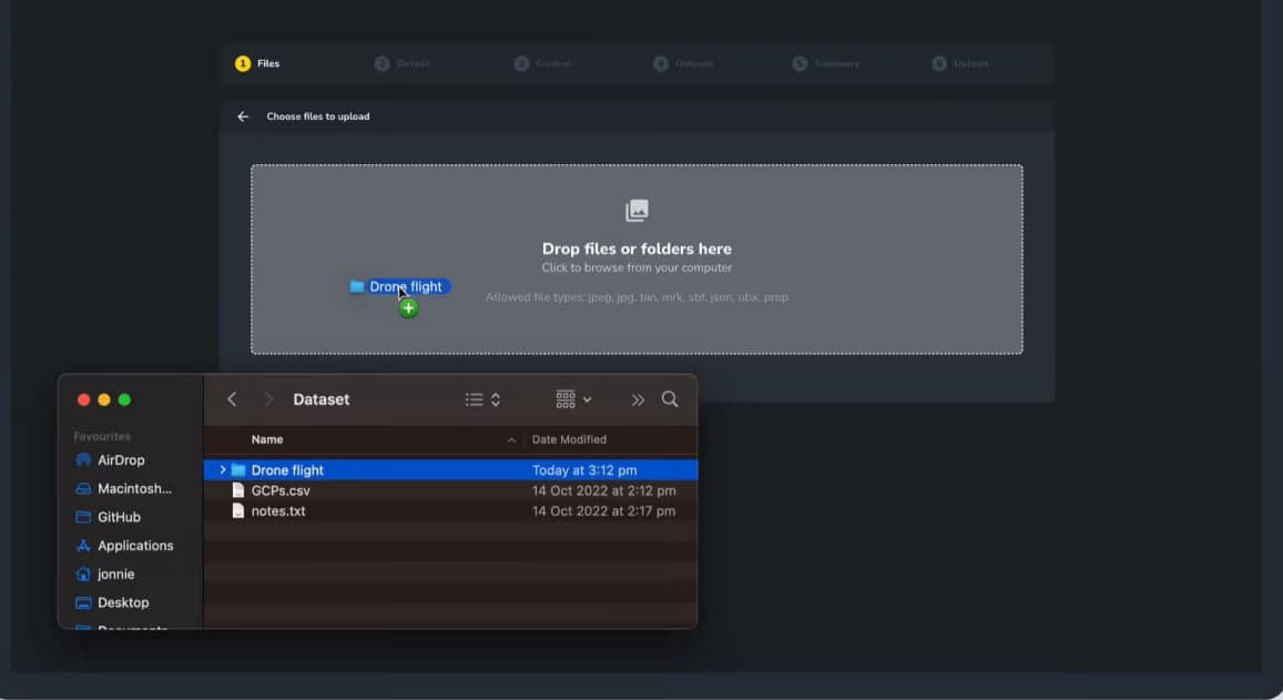
Upload your data
Transfer the collected data to your Logbook in Nkem Aeronautics for processing.
Step 6
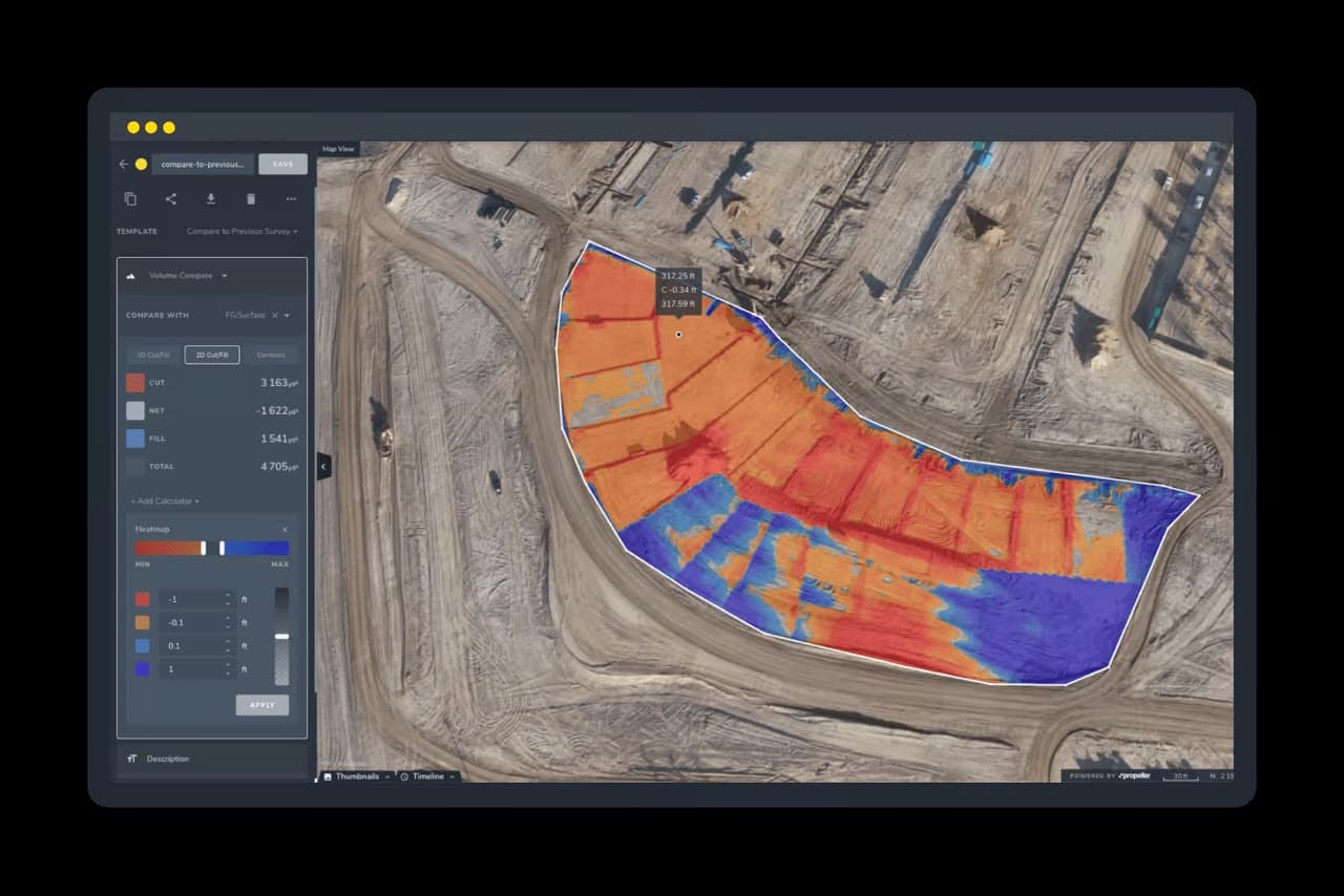
Receive processed data
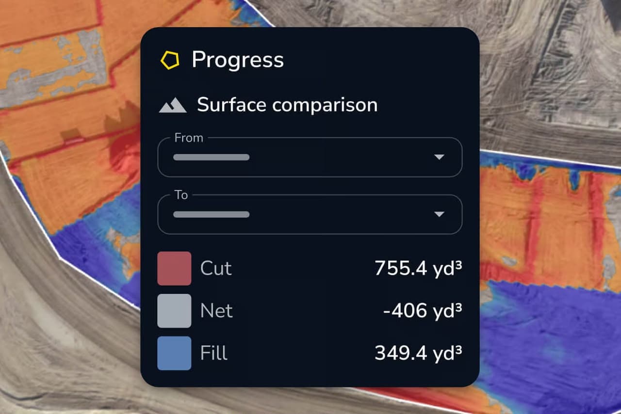
Get a high-resolution 3D map, point cloud, and orthophoto.
Step 7
Run leaner, smarter, and with less guesswork
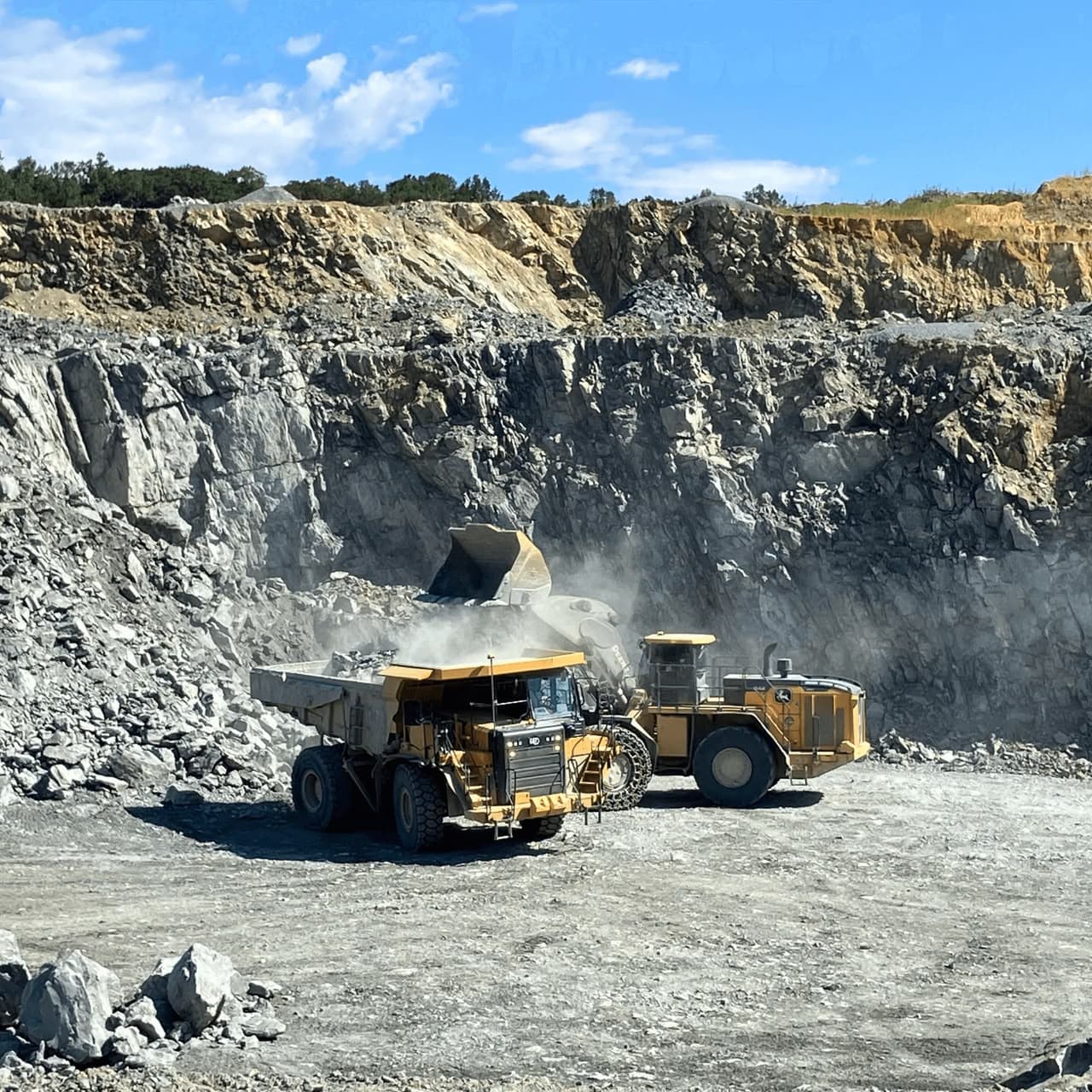
Create daily reporting routines that drive data-driven quarry decisions
Gain instant visibility into haul route performance and operator patterns to eliminate bottlenecks before they cost hours of wait time.
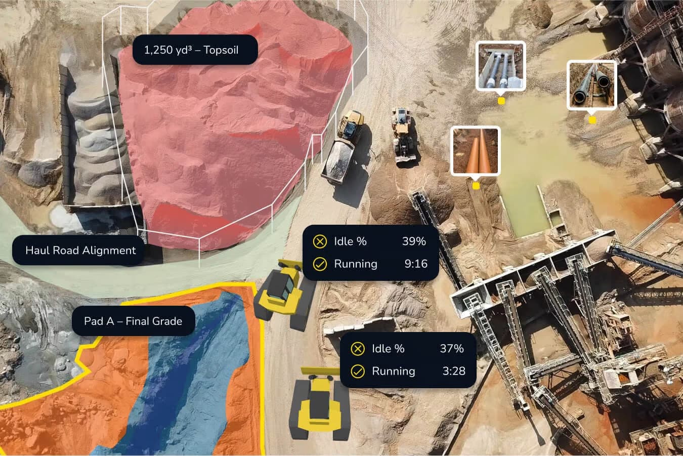
Real-time insights for your construction aggregates and stockpiles
From pit to stockpile, your team gets a single source of truth for decision-making. Track construction aggregate volumes, monitor production, see which trucks are on standby, idle, or running, and plan ahead with the latest site data at your fingertips.
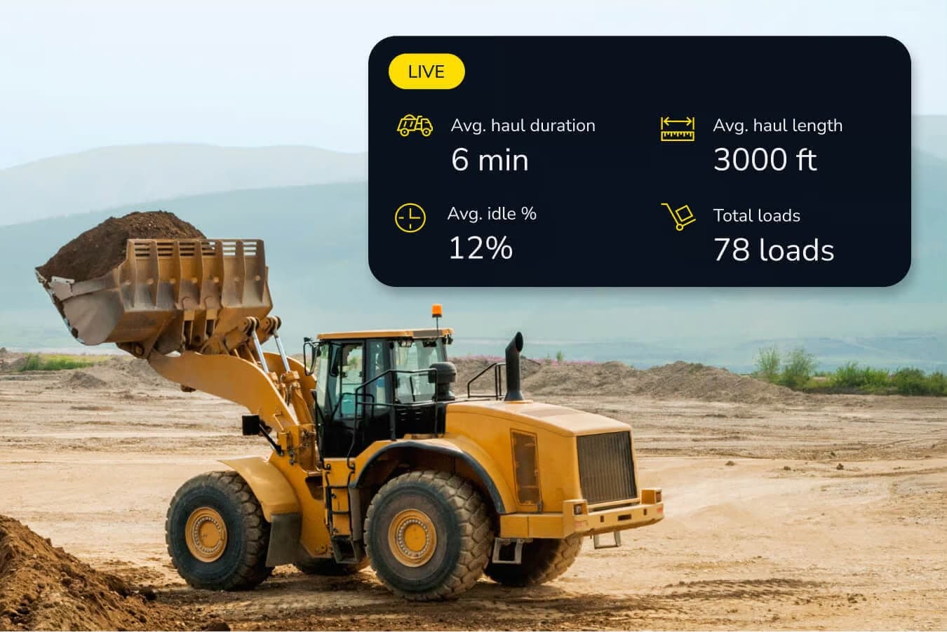
Real-time machine telematics
Take Nkem Aeronautics drone surveillance and mapping to the next level by bringing live machine data right onto your site map. See where your machines are, track cycle times, and monitor utilisation in real time. This seamless integration helps you cut downtime, boost operator efficiency, and keep every team member working from the same updated view.
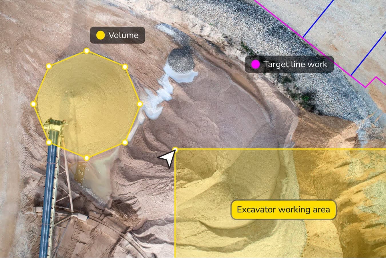
Lightweight CAD workflows
Bring your designs to life. Whether they come from CAD, drone surveys, or site layouts, you can overlay design files directly onto your Logbook. Your team can annotate, mark up, and add context from the field so everyone in the office and on site can make confident decisions and collaborate seamlessly.
Gain efficiency and stay ahead with real-time site data
Optimized material management
Get fast, accurate stockpile volumes and construction aggregates measurement that remove guesswork from material tracking. This precision drives operator efficiency, minimizes waste, and improves overall production monitoring.
Streamlined site checks
Keep a close eye on quality and operational standards with rapid, on-site inspections. Nkem Aeronautics' intuitive tools for site monitoring and digital twin visualization help teams catch issues early, reducing downtime and ensuring compliance.
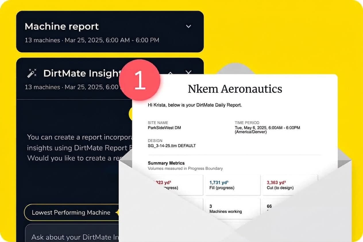
Enhanced daily reporting
Access real-time insights that keep operations running smoothly. With Nkem Aeronautics' daily reporting, decision-makers can quickly address bottlenecks and align efforts across the site for smarter quarry management.
Collaborative field communication
In an environment where roles often overlap, staying connected is crucial. Nkem Aeronautics' field collaboration tools foster better communication and alignment among all on-site teams while keeping construction aggregates operations organized.
Track operator efficiency
Monitor your machines live from the map to reduce idle time, identify issues, and create accountability across your field team.
Organize site docs
Keep projects tidy, permissions secure, and data easy to access when and where you need it. Access all of your documentation from one central hub.
Plan your next move
Stay ahead of site challenges with predictive modeling and overlay designs on your reality to close the gap between current and future state.
Solutions
How you can boost productivity with Nkem Aeronautics
Capture your reality
Connect surveys from different sources on one map. Upload raw inputs for processing or pre-processed surfaces to analyze immediately.
Measure daily production
Get precise measurements across your site. From distances and volumes to heights and grades, measure exactly what matters.
Daily reporting
Log site activity without slowing down the day. Capture updates in real time to keep operations efficient and teams aligned with quarry management goals.
Data management
Centralize everything from haul road measurements to stockpile history in one platform. Give your team access to the site data they need for precise construction aggregates measurement and reporting, when they need it, with data reports collected in your Nkem Aeronautics Logbook portal.
Now in Nkem Aeronautics
Not your average 3D drone mapping software
Handheld scanning, RTK, and more.
From field to office, these updates make it easier to capture data, move faster, and stay aligned on the same map using the Nkem Aeronautics website alongside your Logbook.
Talk to our team about aerial & survey mapping
Tell us about your site and requirements and we will recommend the right inspection approach.
Get in TouchRequest A Quote
Tell us what you need and our team will get back to you with pricing and availability.