Zambia · Africa
Advanced Aerial Solutions & Unmanned Aerial Vehicles Manufacturer
Providing cutting-edge UAV technology, site preparation equipment, and autonomous surveillance operations tailored across Zambia and Africa.
The Challenge
Struggling with inaccurate survey, mapping, security, delivery, distribution, manual spraying limits, or disconnected farms with data?
Estimates instead of real data lead to chemicals and equipment landing in the wrong places. Nkem Aeronautics replaces guesswork with a registered farmer base, aerial spraying, and a shared logbook firms and government bodies can actually rely on.
Inaccurate Distribution
Resource allocation for chemicals and equipment is based on estimates, not real farmer counts per region.
Manual Spraying Limits
Ground-based spraying is slow, uneven, and struggles to cover large or hard-to-reach farmland.
Disconnected Records
Without a shared logbook, firms and the ministry can't verify who's farming what, or where.
Our Services
What We Offer
From aerial spraying to farmer data collection, every service works together to replace guesswork with real, regional data.
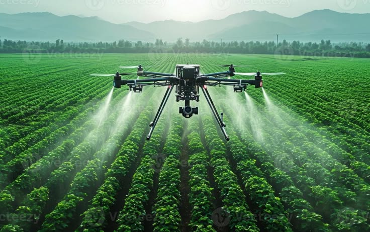
Agricultural Spraying
Precision UAV chemical spraying and crop monitoring for farms of any size.
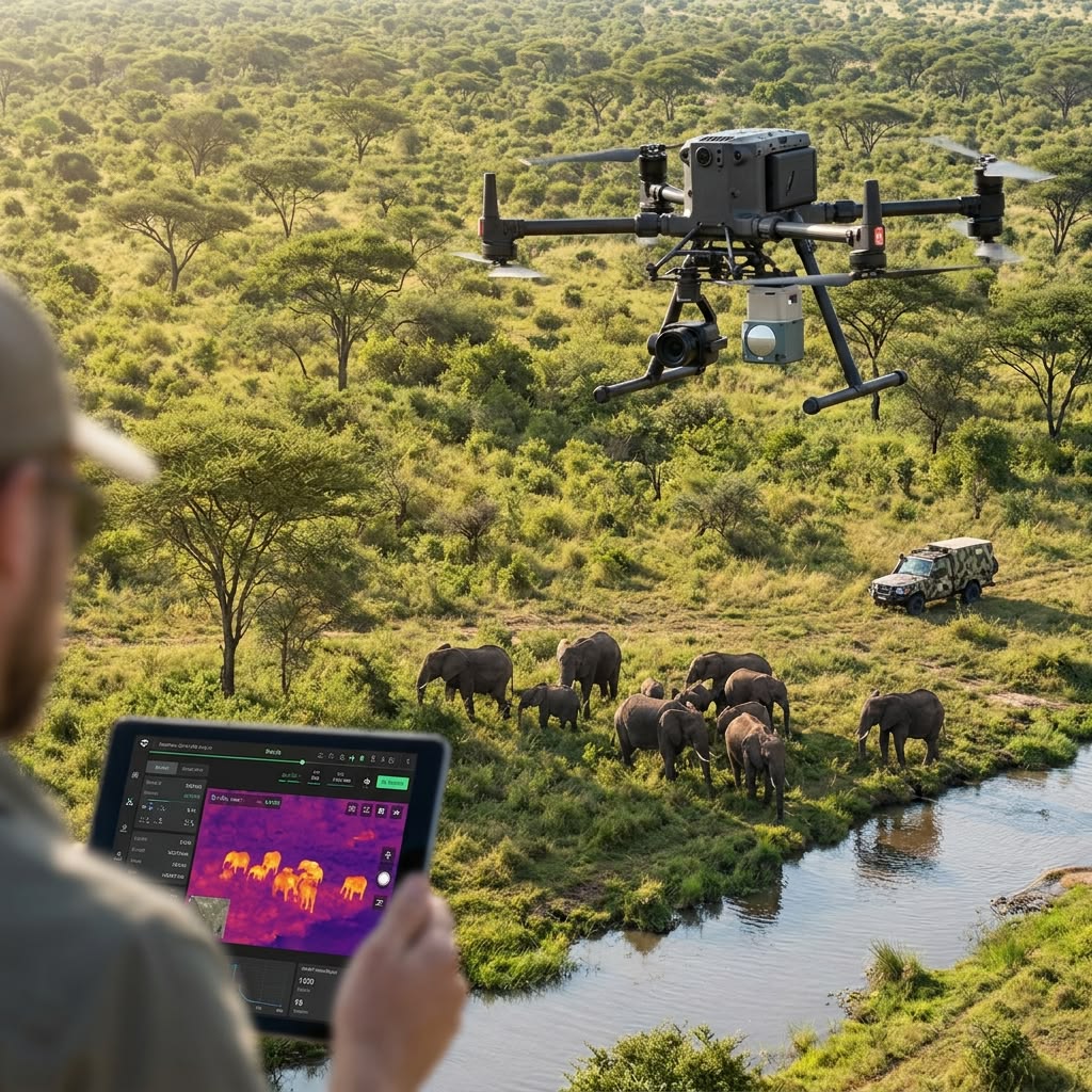
Wildlife & Surveillance
Aerial monitoring drones for conservation, land security, and site oversight.
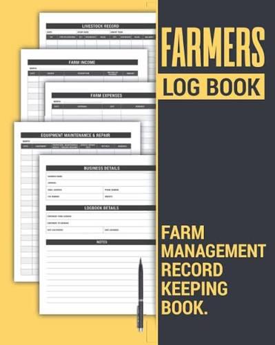
Farmer Registration & Logbook
Digital sign-up with a unique ID and operation logbook for every farmer.
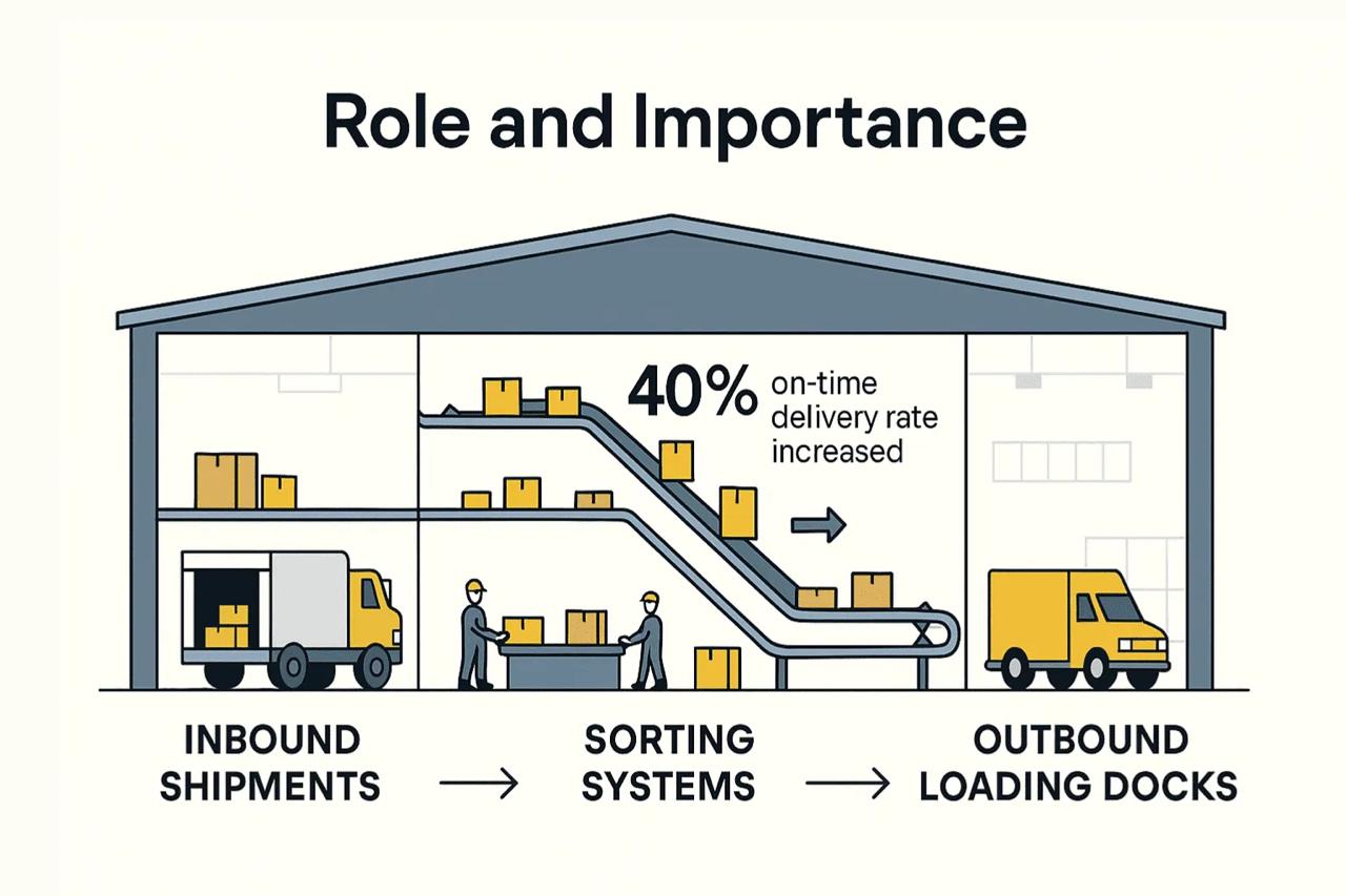
Firm Routing & Distribution
Service requests routed to affiliated firms for accurate resource allocation.
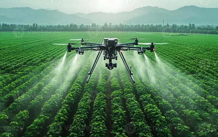
Agricultural Drone Services
Precision UAV operations for farmers and agricultural firms — from crop spraying to health assessments and farm mapping.
- Crop spraying & pesticide application
- Farm monitoring & surveillance
- Crop health & yield assessment
- Farm mapping & boundary survey
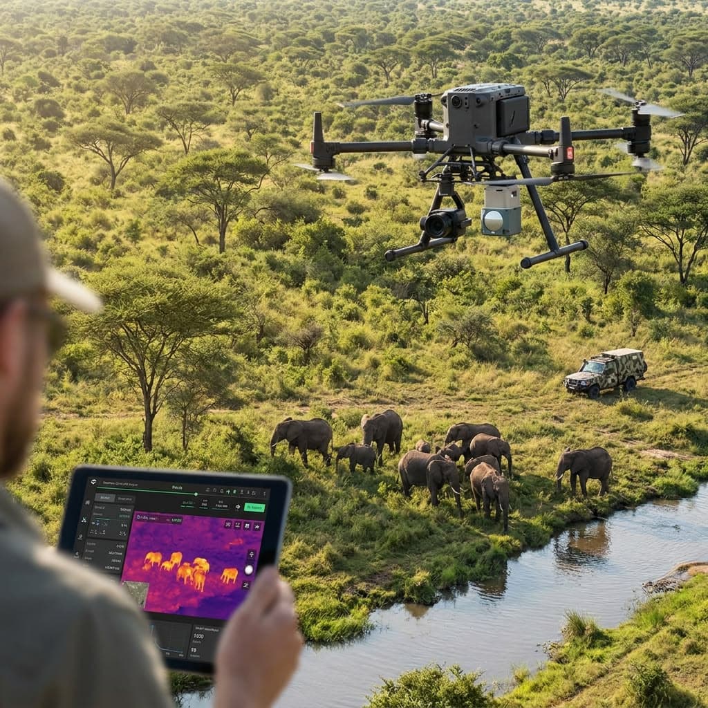
Wildlife & Surveillance
Autonomous aerial surveillance for conservation, anti-poaching, and area monitoring — capturing high-resolution footage across large landscapes.
- Wildlife monitoring & tracking
- Anti-poaching patrol operations
- GPS tracking & geo-fencing
- High-resolution photo & video capture
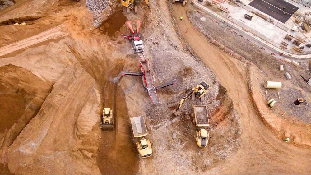
Mining Operations
Autonomous drone operations for mine sites — surveys, blast monitoring, stockpile measurement, and round-the-clock site visibility.
- Site survey & stockpile measurement
- Blast & active pit monitoring
- Haul road & infrastructure inspection
- Thermal & night-time operations
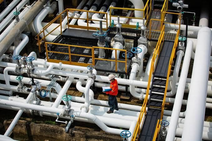
Pipeline & Infrastructure Inspection
Rapid, cost-effective drone inspections of oil, gas, and water pipelines — reducing downtime and manual risk for operators.
- Pipeline leak detection
- Infrastructure condition assessment
- Remote site inspection
- Detailed inspection reporting
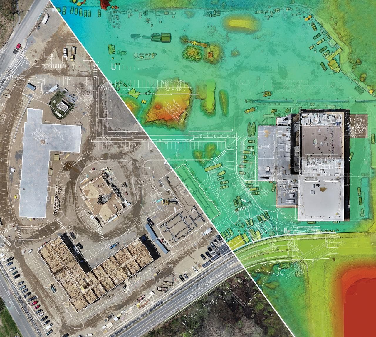
Aerial & Survey Mapping
High-accuracy topographic surveys, volumetric measurements, and digital elevation models for engineering and government projects.
- Topographic & cadastral surveys
- Volumetric & stockpile measurement
- Digital elevation models (DEM)
- GIS-ready deliverables
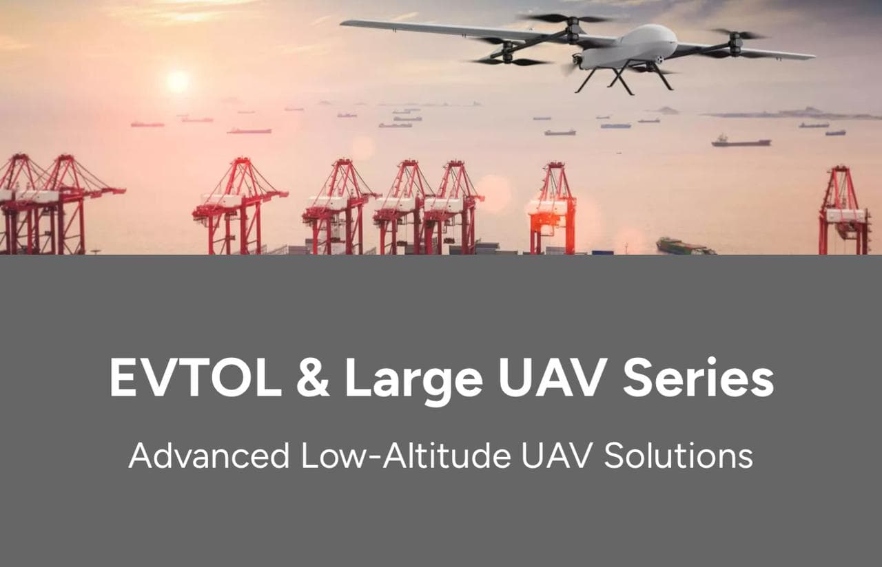
eVTOL & Heavy-Lift Operations
Specialised heavy-lift VTOL fixed-wing drone missions for cargo, emergency supply, and large-scale field operations.
- Heavy-lift payload delivery
- Emergency supply drops
- Large-area field coverage
- Long-range autonomous missions
Project Lifecycle
A streamlined workflow from concept development to final delivery.
Consultation
Define application requirements and project objectives.
Design R & D
Develop system architecture and engineering solutions.
Prototyping
Validate design performance through prototype testing.
Mass Production
Ensure consistent manufacturing and quality control.
Delivery & Support
Ensure reliable product delivery and after-sales support.
Manufacturing Process
01
Briefing
Define technical requirements and project scope.
02
Blueprint
Complete structural and system design planning.
03
Validation
Conduct functional and reliability testing.
04
Scaling
Support mass production and delivery.
Global Quality Control
Quality System
Manufacturing Control
Strict quality control applied across design, production, and final inspection to ensure consistent UAV performance and reliability.
In-Factory Video Tour
Explore manufacturing facilities, production processes, and quality control systems.
How It Works
From Sign Up to Service, in Four Steps
01
Sign Up
Register your farm details and declare your firm affiliation.
02
Get Your Logbook ID
Receive a unique identification and logbook entry instantly.
03
Request a Service
Request chemical spraying or another aerial service when you need it.
04
Routed & Fulfilled
Your affiliated firm receives the request and supplies the service.
Why Nkem Aeronautics
Built for Agriculture, Wildlife Conservation and Surveillance Challenges Across Every Region and Country
Regional Coverage
Operating across Zambia and Africa.
Data-Driven Allocation
Real farmer counts replace estimates for chemical distribution.
Dual-Sector Expertise
Agricultural and wildlife & surveillance drone operations under one roof.
Farmer-First Design
A simple sign-up flow built to work for every farmer, not just the tech-savvy.